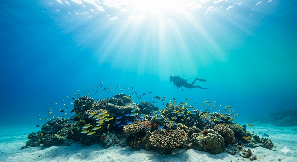
Princess Bay

The Pacific › New Zealand › North Island of New Zealand

Princess Bay

18 mMax Depth
ShoreEntry
7Species

Conditions Summary

Model forecast · local time (GMT+13)

Model conditions signal62/100
Waves
1.8 m
11.0 s
Swell
1.7 m
9.7 s
Current speed
1.5 km/h
flowing toward SE
Water temperature
14.4°C
Wind
22.3 km/h
→ N
Sea level
0.4 m
rising
WavesChallenging
SwellChallenging
Current speedCalm

Forecast Overview

TodayChallenging
Waves1.4–1.8 mCurrent speed2.6 km/h maxWater temperature14.5°C
TomorrowChallenging
Waves1.0–1.5 mCurrent speed3.3 km/h maxWater temperature14.4°C
Fri, Oct 23Watch
Waves0.9–1.5 mCurrent speed4.3 km/h maxWater temperature14.5°C
Next 72 hours
00:00
Waves: 1.8 m
Current speed: 1.6 km/h
Water temperature: 14.4°C
06:00
Waves: 1.7 m
Current speed: 0.9 km/h
Water temperature: 14.2°C
12:00
Waves: 1.5 m
Current speed: 1.6 km/h
Water temperature: 14.5°C
18:00
Waves: 1.4 m
Current speed: 0.7 km/h
Water temperature: 14.9°C
00:00
Waves: 1.4 m
Current speed: 1.6 km/h
Water temperature: 14.6°C
06:00
Waves: 1.5 m
Current speed: 0.9 km/h
Water temperature: 14.3°C
12:00
Waves: 1.4 m
Current speed: 2.7 km/h
Water temperature: 14.3°C
18:00
Waves: 1.1 m
Current speed: 0.7 km/h
Water temperature: 14.4°C
00:00
Waves: 1.0 m
Current speed: 2.7 km/h
Water temperature: 14.2°C
06:00
Waves: 1.0 m
Current speed: 1.6 km/h
Water temperature: 14.1°C
12:00
Waves: 1.0 m
Current speed: 2.8 km/h
Water temperature: 14.5°C
18:00
Waves: 1.1 m
Current speed: 2.0 km/h
Water temperature: 14.9°C
Catalog depth18 m
Data sources & field guideOpen-Meteo Marine + Weather APIs

Planning context, not a safety guarantee. Coastal model accuracy is limited. Confirm the actual briefing, entry, exit, and suitability with a local operator.

Updated: cached data

Open-Meteo Marine + Weather APIs →

Dive readiness

Collecting the latest marine conditions and forecast signals.

Nearby live cameras

Check the water around Princess Bay before you dive. Feeds are provided by third parties and may occasionally be offline.

8 cameras

SH1 Tinakori Rd On-ramp

7.8 km awayOpenStreetMap
Open

North along Urban Mwy from Tinakori Rd On-ramp

Check is getting oldLast checked 49h ago

External source · live video is not independently verified

No history is stored for this external source.

Fallback camera: Lower Hutt
Public feedCatalogued Oct 19, 2026

SH1/SH2 Interchange

11 km awayOpenStreetMap
Open

South along Urban Mwy from SH1/SH2 Interchange

Check is getting oldLast checked 49h ago

External source · live video is not independently verified

No history is stored for this external source.

Fallback camera: Lower Hutt
Public feedCatalogued Oct 19, 2026

SH1 Ngauranga Gorge

11.7 km awayOpenStreetMap
Open

South along SH1 in the Ngauranga Gorge

Check is getting oldLast checked 49h ago

External source · live video is not independently verified

No history is stored for this external source.

Fallback camera: Lower Hutt
Public feedCatalogued Oct 19, 2026

SH1 Newlands

12.8 km awayOpenStreetMap
Open

South along SH1 from Newlands Rd

Check is getting oldLast checked 49h ago

External source · live video is not independently verified

No history is stored for this external source.

Fallback camera: Lower Hutt
Public feedCatalogued Oct 19, 2026

SH1 Johnsonville

13.2 km awayOpenStreetMap
Open

South along SH1 from Johnsonville Off-ramp

Check is getting oldLast checked 49h ago

External source · live video is not independently verified

No history is stored for this external source.

Fallback camera: Lower Hutt
Public feedCatalogued Oct 19, 2026

SH2 Petone

14.8 km awayOpenStreetMap
Open

South along SH2 from Petone Off-ramp

Check is getting oldLast checked 49h ago

External source · live video is not independently verified

No history is stored for this external source.

Fallback camera: Lower Hutt
Public feedCatalogued Oct 19, 2026

SH1 Churton Park South

15.9 km awayOpenStreetMap
Open

South along SH1 from Churton Park Interchange

Check is getting oldLast checked 49h ago

External source · live video is not independently verified

No history is stored for this external source.

Fallback camera: Lower Hutt
Public feedCatalogued Oct 19, 2026

SH1 Churton Park North

15.9 km awayOpenStreetMap
Open

North along SH1 from Churton Park Interchange

Check is getting oldLast checked 49h ago

External source · live video is not independently verified

No history is stored for this external source.

Fallback camera: Lower Hutt
Public feedCatalogued Oct 19, 2026

Live availability is controlled by each camera provider. Use the feed as a quick surface check and confirm current conditions with a local dive operator.

Explore nearby centers on the map

Loading…

Dive Types

BeachReefSandy bottomOceanSalt Water

Questions to ask a local operator

  • What are today's current, visibility, entry, and exit conditions?
  • Does the planned route stay within my certification and recent experience?
  • Are there local permits, conservation rules, or equipment requirements?

Common Species

12 km · nearby observations
Eels
From site catalogue
Lobster
From site catalogue
Octopus
From site catalogue
Reef Fish
From site catalogue
Scorpionfish
From site catalogue
Sea anemone
From site catalogue
Starfish
From site catalogue
Undaria pinnatifida
Nearby OBIS observations25
Theora lubrica
Nearby OBIS observations13
Microcarbo melanoleucos brevirostris
Nearby OBIS observations9
Phalacrocorax varius varius
Nearby OBIS observations8
Coscinasterias muricata
Nearby OBIS observations5
These are nearby biodiversity records, not a guarantee that every species will be seen on a particular dive.
OBIS source →

Photos

Princess Bay photo 2
Princess Bay photo 3
Princess Bay photo 4
Princess Bay photo 5
Princess Bay photo 6
Find a dive center