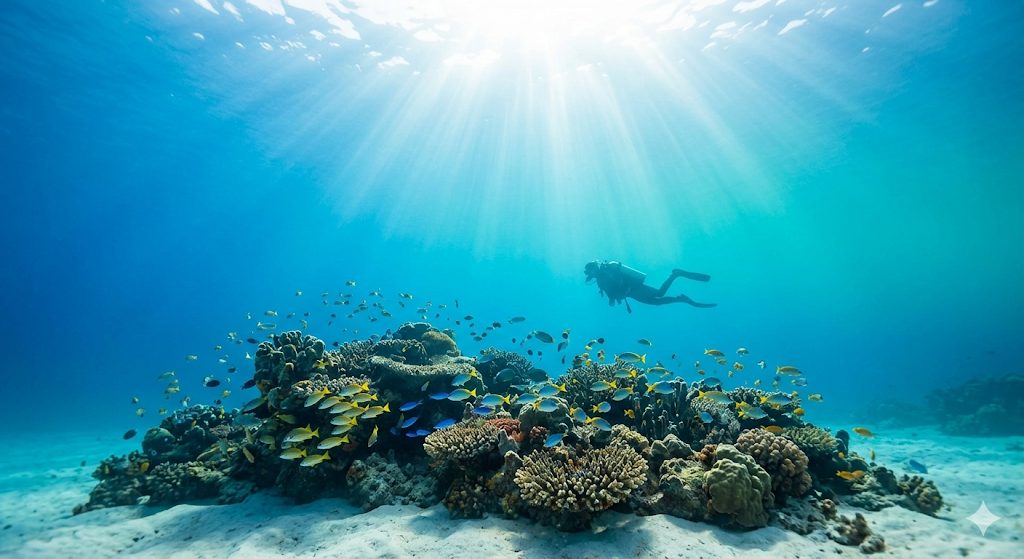
Glen Douglas Road End

United Kingdom

Glen Douglas Road End

30–60 mMax Depth
shoreEntry
6Species

Conditions Summary

Model forecast · local time (GMT+1)

Planning signal100/100
Waves
0.0 m
1.9 s
Swell
0.0 m
1.4 s
Current speed
Water temperature
Wind
2.9 km/h
→ NW
Sea level
WavesCalm
SwellCalm
Current speedUnknown

Forecast Overview

TodayCalm
Waves0.0–0.0 mCurrent speed maxWater temperature
TomorrowCalm
Waves0.0–0.4 mCurrent speed maxWater temperature
Mon, Sep 7Calm
Waves0.0–0.3 mCurrent speed maxWater temperature
Tue, Sep 8Calm
Waves0.2–0.4 mCurrent speed maxWater temperature
Next 72 hours
23:00
Waves: 0.0 m
Current speed:
Water temperature:
05:00
Waves: 0.1 m
Current speed:
Water temperature:
11:00
Waves: 0.3 m
Current speed:
Water temperature:
17:00
Waves: 0.4 m
Current speed:
Water temperature:
23:00
Waves: 0.2 m
Current speed:
Water temperature:
05:00
Waves: 0.1 m
Current speed:
Water temperature:
11:00
Waves: 0.2 m
Current speed:
Water temperature:
17:00
Waves: 0.2 m
Current speed:
Water temperature:
23:00
Waves: 0.3 m
Current speed:
Water temperature:
05:00
Waves: 0.3 m
Current speed:
Water temperature:
11:00
Waves: 0.4 m
Current speed:
Water temperature:
17:00
Waves: 0.4 m
Current speed:
Water temperature:
Catalog depth30–60 m
Data sources & field guideOpen-Meteo Marine + Weather APIs

Planning context, not a safety guarantee. Coastal model accuracy is limited. Confirm the actual briefing, entry, exit, and suitability with a local operator.

Open-Meteo Marine + Weather APIs

Dive readiness

Collecting the latest marine conditions and forecast signals.

Seasons · water temperature

12-month outlook

Best window

Apr-Oct

Peak month

Aug 15.0°

Jan7.9°
Feb7.2°
Mar7.2°
Apr8.2°
May10.1°
Jun12.7°
Jul14.6°
Aug15.0°
Sep13.8°
Oct12.3°
Nov10.8°
Dec9.4°
Current: moderate
Typical visibility: 7.5 m

Historical planning data from the recorded site profile. Water temperature and conditions can vary by day, depth, and weather; confirm current conditions with a local operator.

Explore nearby centers on the map

Loading…

Dive Types

deepsalt Wateradvanced Difficulty

Data source & current conditions

Profile facts were imported from DeepLog. ScubaProof adds nearby-center links and presents the recorded fields without treating missing data as confirmation. Conditions, access, permits, and site suitability can change; confirm them with a local operator before diving.

View the source profile →

Questions to ask a local operator

  • What are today's current, visibility, entry, and exit conditions?
  • Does the planned route stay within my certification and recent experience?
  • Are there local permits, conservation rules, or equipment requirements?

Common Species

12 km · nearby observations
Common periwinkle
Littorina littorea
DeepLog1
European eel
Anguilla anguilla
DeepLog1
Northern dog whelk
Nucella lapillus
DeepLog1
Periwinkle
Littorina obtusata
DeepLog1
Plum anemone
Actinia equina
DeepLog1
Psammechinus miliaris
DeepLog1
Asterias rubens
Nearby OBIS observations15
Echinus esculentus
Nearby OBIS observations10
Mytilus edulis
Nearby OBIS observations8
Protanthea simplex
Nearby OBIS observations8
Synarachnactis lloydii
Nearby OBIS observations8
Carcinus maenas
Nearby OBIS observations6
These are nearby biodiversity records, not a guarantee that every species will be seen on a particular dive.
DeepLog + OBIS

Photos

Glen Douglas Road End photo 2
Glen Douglas Road End photo 3
Glen Douglas Road End photo 4
Find a dive center